Clockwork Micro
Learn about what Clockwork Micro has to offer.
Elevation API
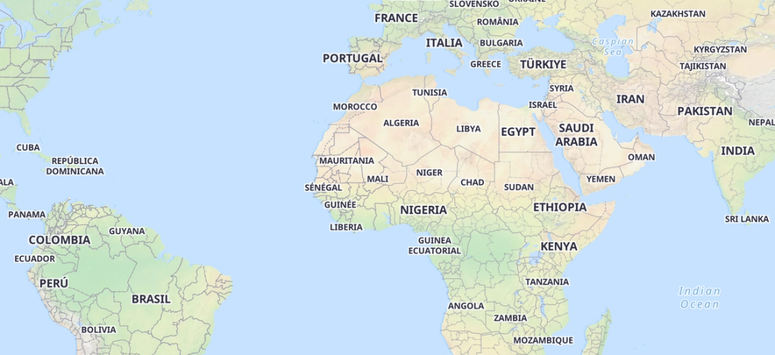
Basemap
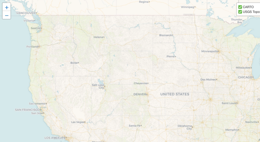
Map Maker
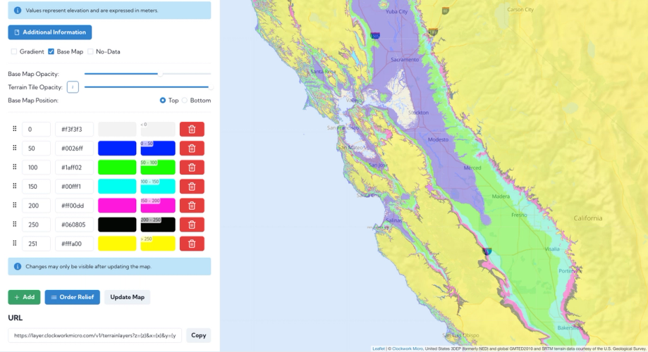
Terrain Tiles
USGS Topo Maps
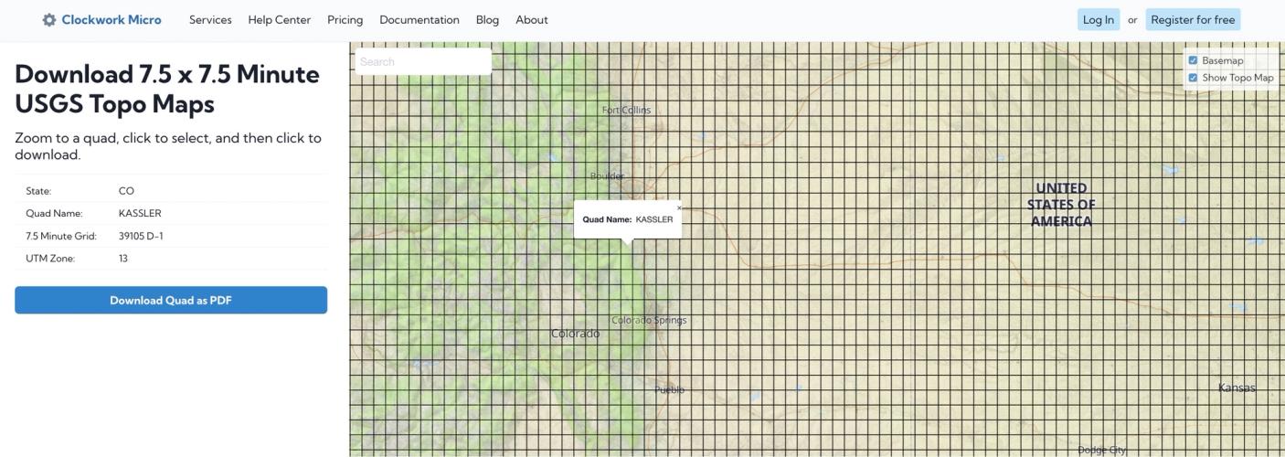
USGS 7.5 Min Topo Quads